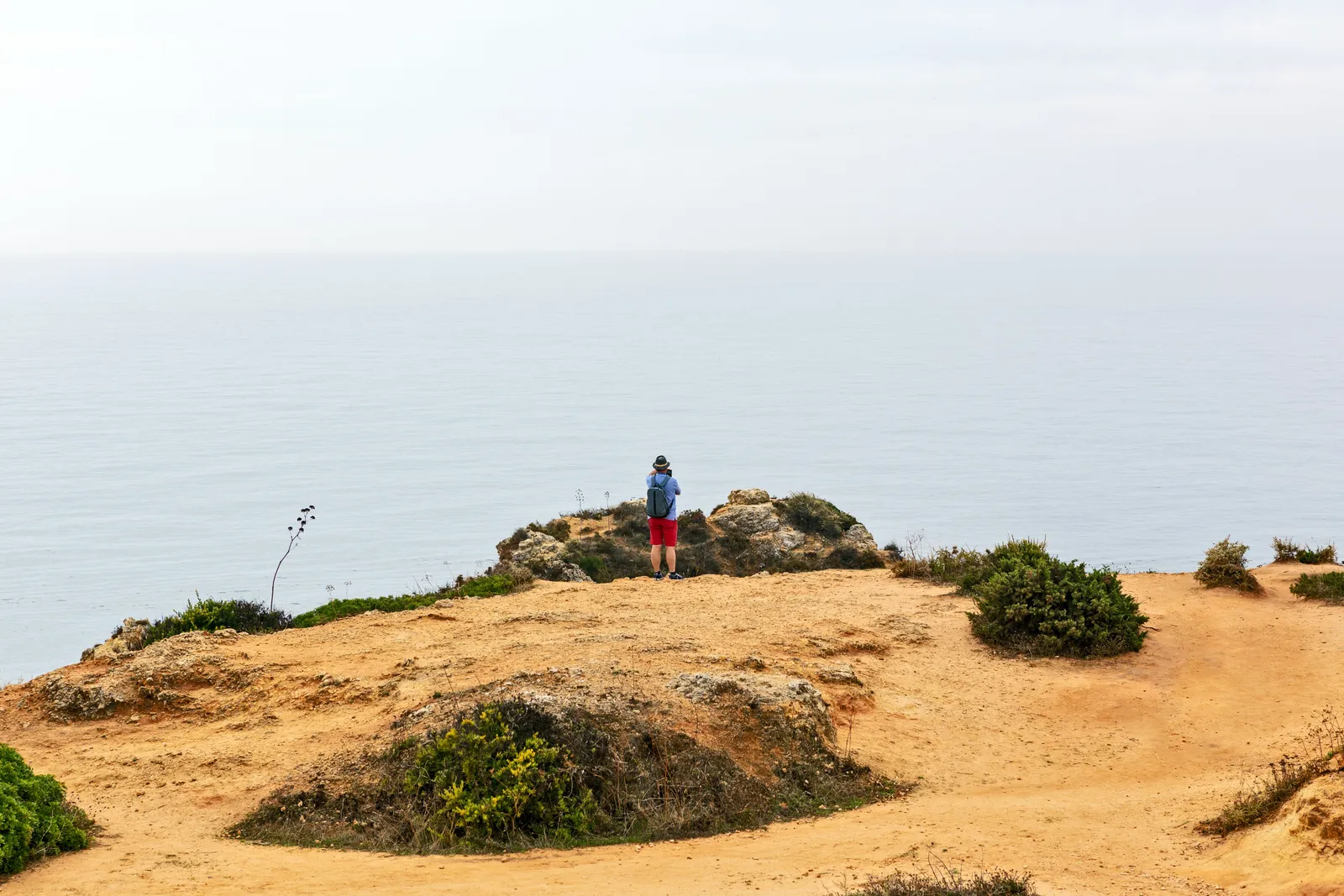
Most hiking trails eventually take you inland, away from the coast and into trees. The Fishermen’s Trail does the opposite. For most of its length, it stays as close to the Atlantic as the land allows, running along clifftop and open dune with the sea in view for hours at a stretch, and it links a string of small fishing villages, Porto Covo, Vila Nova de Milfontes, Zambujeira do Mar and Odeceixe among them, that grew up around this coast long before anyone walked it for pleasure.
It is a genuinely different kind of walking from anything in Portugal’s mountains or forests, and it is not for everyone. This is the honest guide to what it actually involves.
What the Fisherman’s Trail actually is
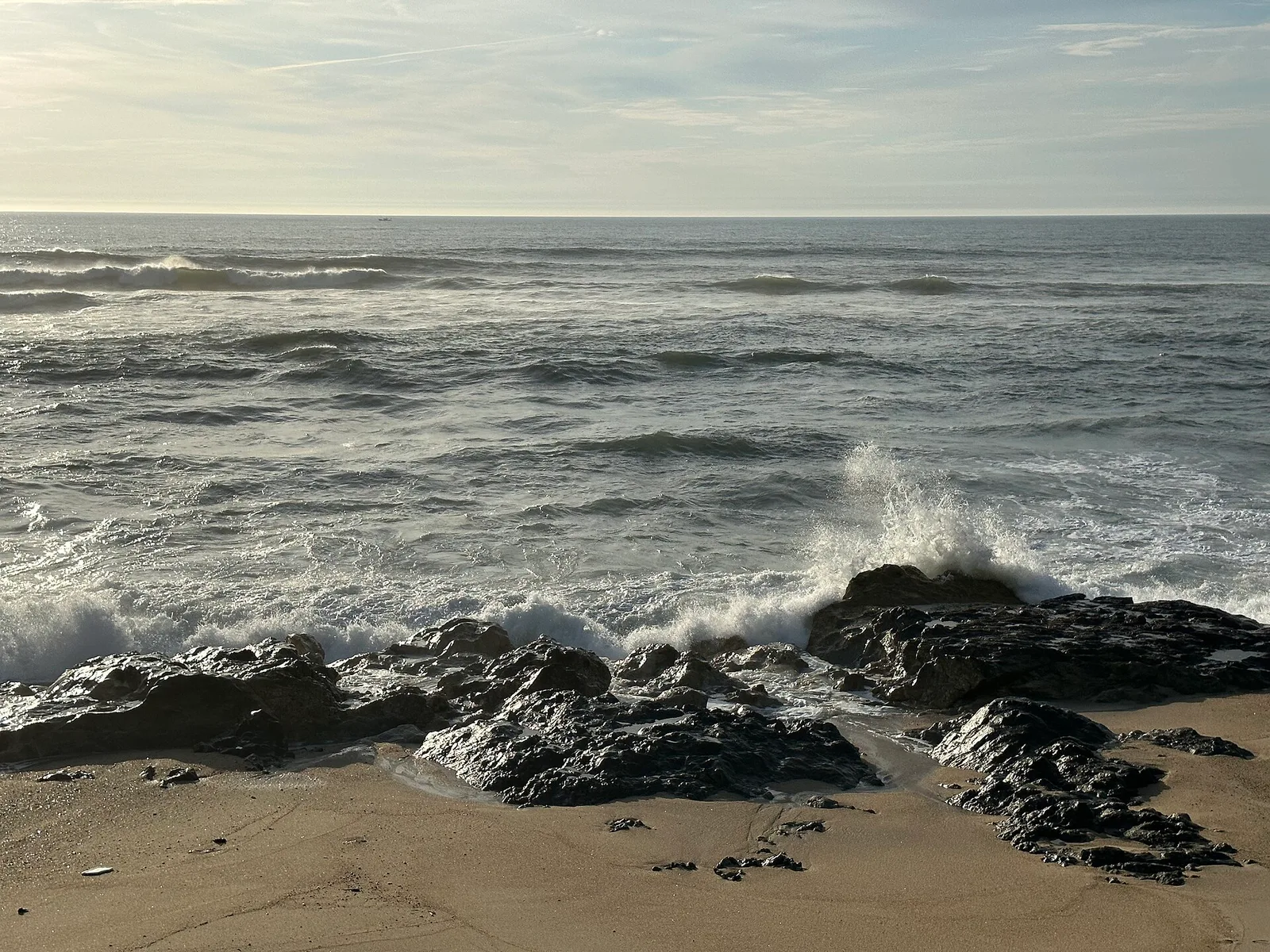
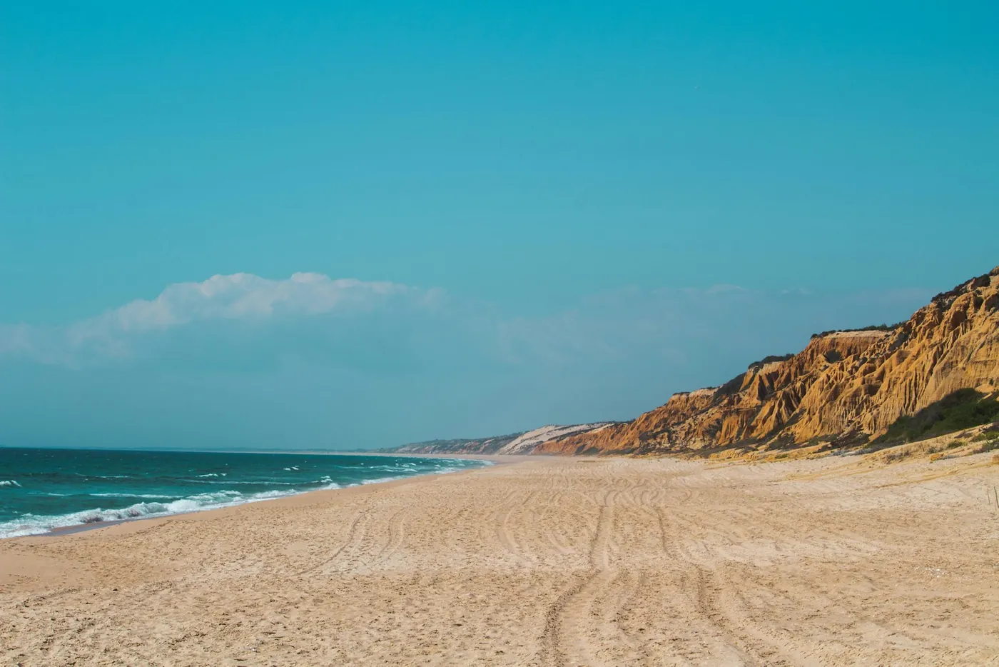
The path itself is mostly packed sand and low clifftop scrub, marked with the green and blue trail signs used across the wider Rota Vicentina network, which manages and maintains the route. There is very little tree cover, the ground underfoot shifts between firm sand, soft sand and rocky sections, and the Atlantic is visible for most of the walking day. Fishing villages along the way break up the route with cafés, small shops and somewhere to sleep, and the coastline between them alternates between dramatic orange cliffs and long, empty beaches that most visitors to Portugal never see.
The name is not marketing. Much of the route follows paths that local fishermen used for generations to reach rocky shore spots to cast a line, long before anyone thought to walk the whole coast for its own sake, and that history is part of what gives the trail its character: it was worn in by work, not designed for tourism. Most of it sits within the Sudoeste Alentejano e Costa Vicentina Natural Park, a protected stretch of coastline, and the dune vegetation you walk past is part of that protection, which is one reason the trail sticks to marked paths rather than letting walkers wander freely across the dunes.
Two networks, not one
Rota Vicentina is actually two connected trail systems, not a single path, and the difference matters when you are choosing what to walk.
| Route | Terrain | Shade |
|---|---|---|
| Fishermen’s Trail | Cliff-top paths and beach sand, hugging the coast | Almost none |
| Historical Way | Farm tracks and villages further inland | Regular tree cover |
The Fishermen’s Trail is the coastal route described here, harder underfoot and more exposed but with the scenery most people come for. The Historical Way runs inland between many of the same towns, on firmer ground with far more shade, and suits walkers who want a gentler physical challenge or who are walking in warmer weather.
How the days are structured
The network is broken into named stages between villages, each with its own distance, difficulty rating and available services, and both change from time to time as sections are rerouted for coastal erosion or maintenance. Rather than repeat figures here that may already be out of date, plan directly from the current stage breakdown on the official Rota Vicentina website or app, which lists up-to-date distances, difficulty and where each stage starts and ends.
Choosing a direction and a length of trip
There is no single correct direction to walk, and experienced walkers are genuinely split on it. What decides it in practice is usually transport, where you can arrange a lift or a bus at each end, and accommodation, since booking a run of villages in one direction is often easier than the other on a given set of dates. Walking the whole network takes more than a week; walking a handful of connected stages over three or four days is far more common and gives a real sense of the coast without the full commitment.
Public transport to the villages themselves is thin, with bus links running along the wider region rather than to every trailhead, so most walkers either arrange a taxi or transfer to the starting village, or drive and use a car-relocation or shuttle service arranged through a local operator to get back to their vehicle at the far end. Building this logistics piece into the plan before you start saves a lot of improvising once you are already tired at the end of a stage.
Small villages, small hotel stockBook each stage's village before you leave, especially in spring and autumnWhere to sleep along the way
Accommodation along the route is mostly small guesthouses, rural tourism properties and family-run rooms in the villages themselves, rather than hotels in any conventional sense, and some stages end in places with only a handful of beds between them. Book every night before you set off rather than assuming you will find something on arrival, particularly in the busier spring and autumn walking seasons. For walkers who would rather not carry a full pack all day, local operators run luggage transfer services between stages, moving your bag ahead to that night’s accommodation.
Heat, sun and water: the real challenge
The biggest hazard on this trail is not the terrain, it is the sun. With almost no shade for most of the route, the middle of the day on open dune and clifftop can be genuinely gruelling even for fit walkers, and dehydration creeps up faster here than on a shaded inland path covering the same distance. Carry more water than you think you will need, start early to cover ground before the heat builds, and take proper sun protection rather than relying on a hat alone. Wind is the other constant: the clifftop sections catch whatever is coming off the Atlantic, which can make a hot day more bearable but also means a hat that is not secured will not stay on for long, and sunscreen needs reapplying more often than it would inland, since the breeze hides how much sun you are actually getting.
The height of summer combines the strongest sun with the trail’s busiest weeks, and many experienced walkers avoid that stretch entirely, choosing spring or autumn instead for cooler, more comfortable conditions and quieter villages along the way. For how that fits into the country’s wider pattern of seasons, our guide to the best time to visit Portugal covers the mainland month by month.
Who this suits, and who should look elsewhere
This trail suits walkers who want open coastal scenery, small working villages and long stretches without much company, and who do not mind soft sand underfoot or a day with little shelter from the sun. It is less suited to anyone hoping for shaded forest walking, a gentle groomed path, or a mountain profile with dramatic elevation, all of which the inland Historical Way, or Portugal’s other walking regions, serve better. Cliff-edge sections in places also mean a head for exposed ground helps, and proper footwear with grip matters more here than it does on a firmer trail.
Trail shoes rather than heavy boots suit most people better here, since sand does not need ankle support so much as it needs to be shaken out regularly, and gaiters help keep it from working its way in on the sandier stretches. Storks nesting on sea stacks just offshore, and the occasional dolphin pod visible from the clifftop, are among the small rewards of walking slowly rather than racing a stage, and they are exactly the kind of thing a faster, more crowded trail elsewhere would not offer in the same way.
If the coast itself is what draws you more than the walking, our overview of surfing in Portugal covers the same shoreline from the water, and our guide to Portugal’s hidden gems has more of the country’s quieter corners for anyone building a trip around places away from the obvious circuit.